About us
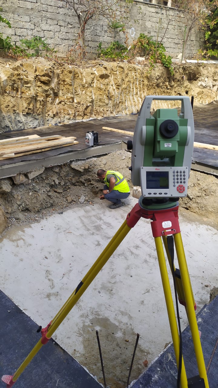
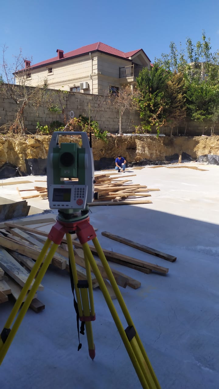
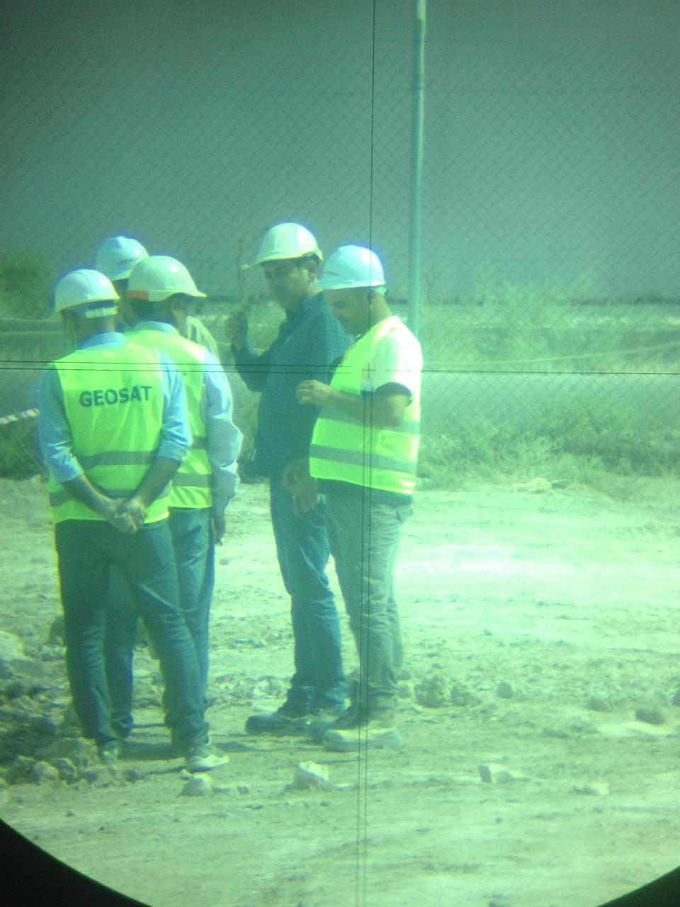
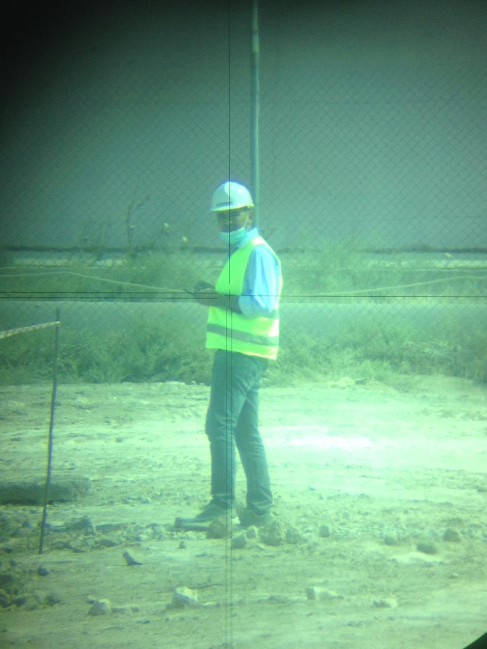
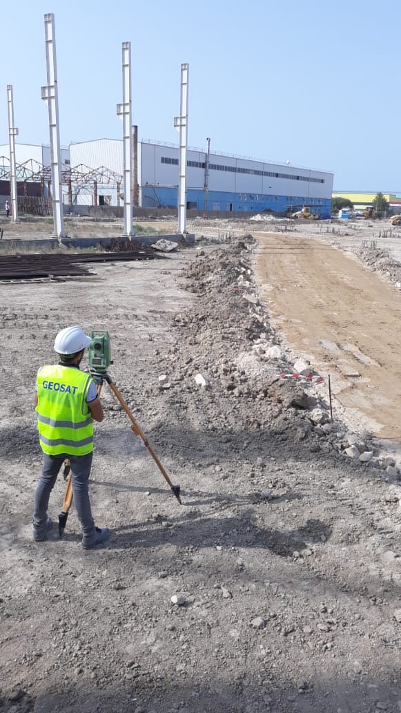
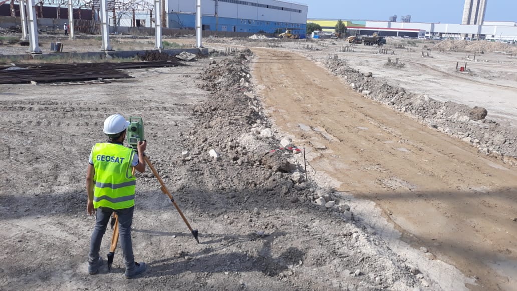
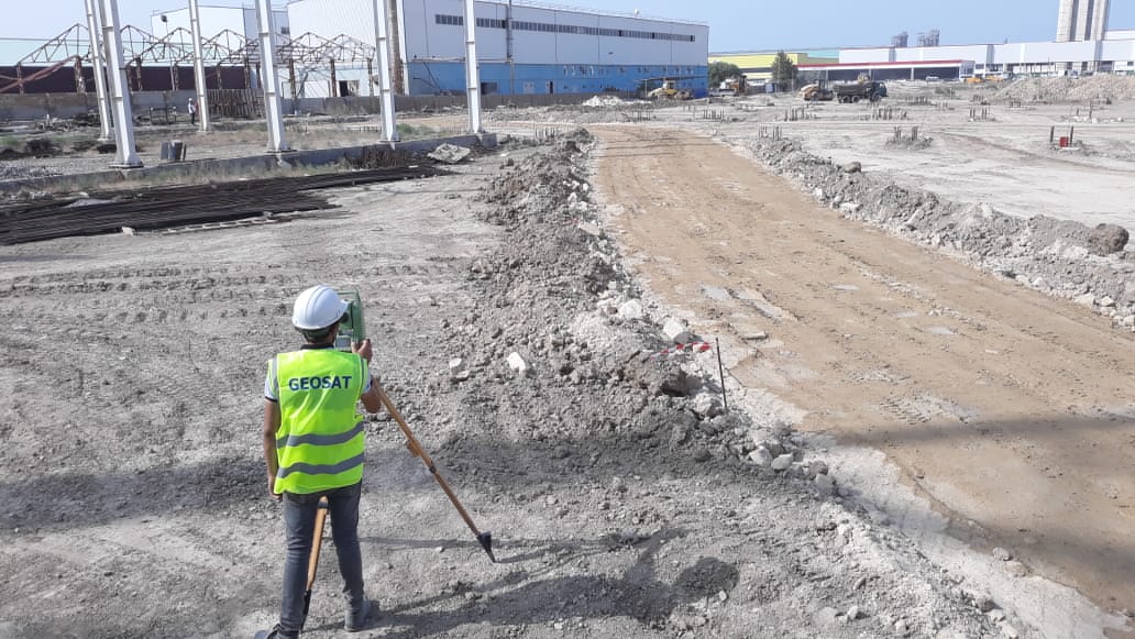
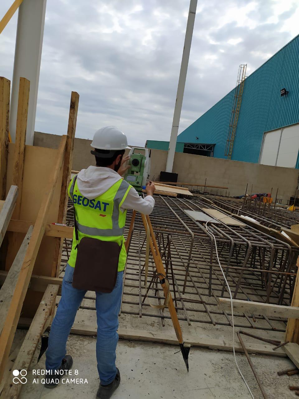
GEOSAT LLC was founded in 2020 by professional engineers. The main purpose of our company is to execute geodetic-topographic works using modern technologies. Professionalism is always important. Our team with its professional members always maintain its superiority in the service.
Geodesy and Geology, problems they learn:
Geodesy is divided into 2 parts.
1. Supreme geodesy; 2. Geodesy.
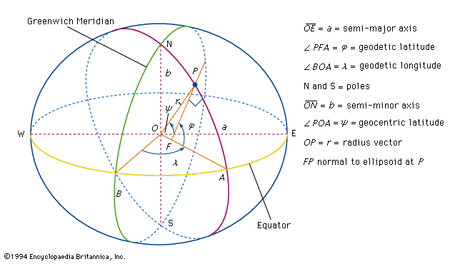
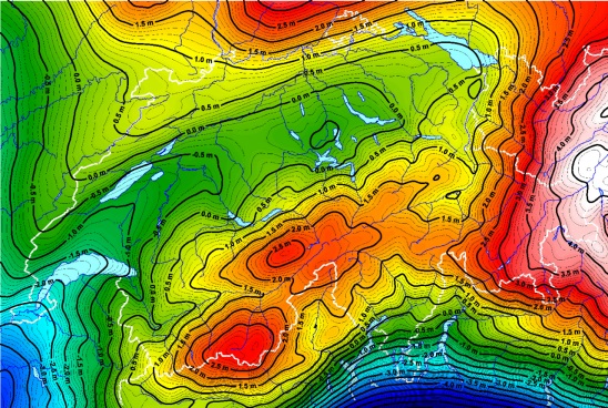
- Supreme geodesy – learns the methods of appointing the points taken from the physical surface of the ground with high precision. Then the shape and dimensions of the ground is specified referring to these mesurements, even a state geodetic reference network is created in the territory of the country. The state geodetic reference network is the basis of all types of geodetic and cartographic works carried out in the territory of the country.
Supreme geodesy course will be learnt in separately in higher courses:
Geodesy is consist of some divisions: 1) topography; 2) photo topography; 3) applied (engineering) gedoesy.
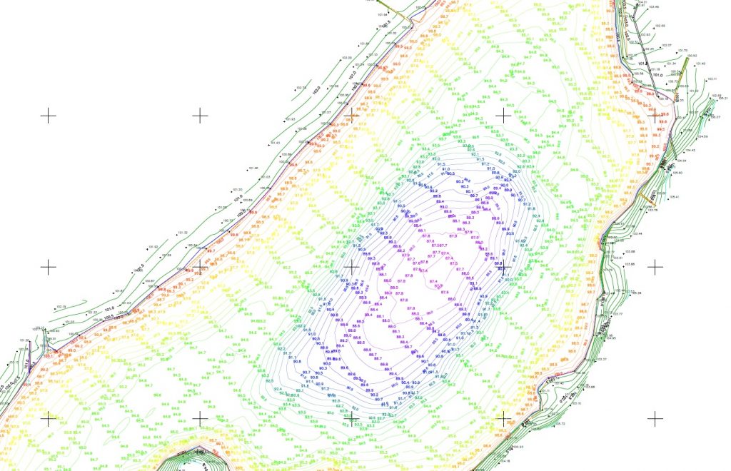
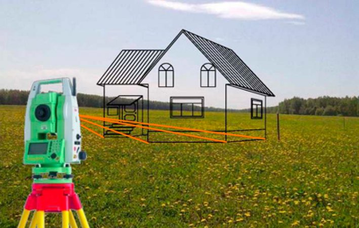
- Topography – learns the methods and means of measurement on the ground, mathematical and graphical processing of these measurements in order to compile maps and plans of the area.
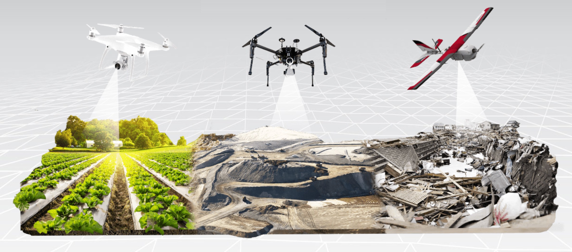
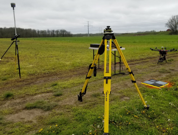
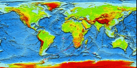
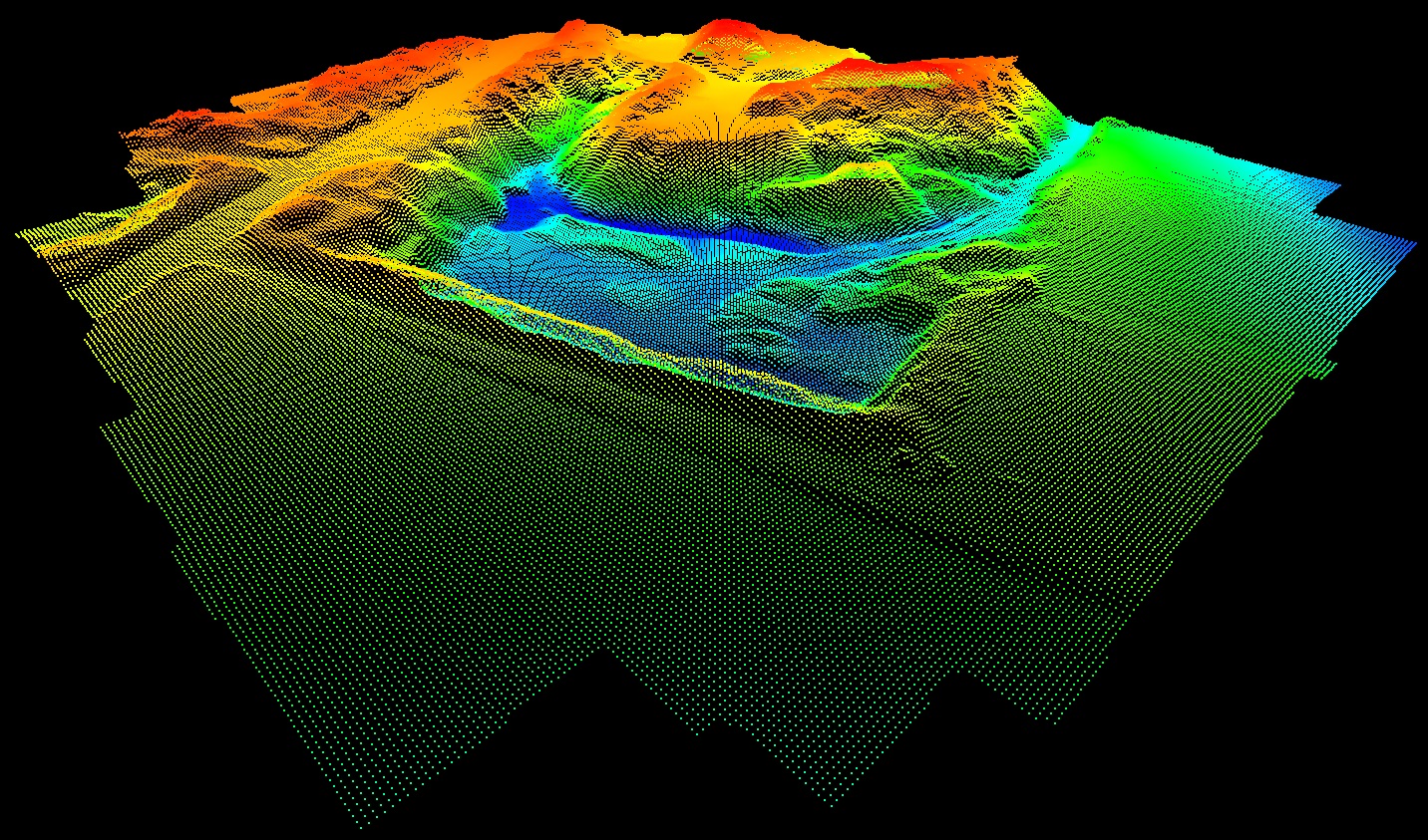
- Photo topography - the purpose of the photographic section is also to compile maps and plans. But, in this case, the maps and plans are mainly compiled based on the photos taken in the area by the cameras installed on flying devices. If the photos are taken from spacecrafts, then they are called space photos. Space photos are mainly used to compile very small-scale (in recent times, even large-scale) maps.
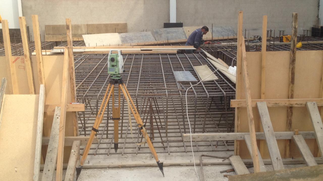
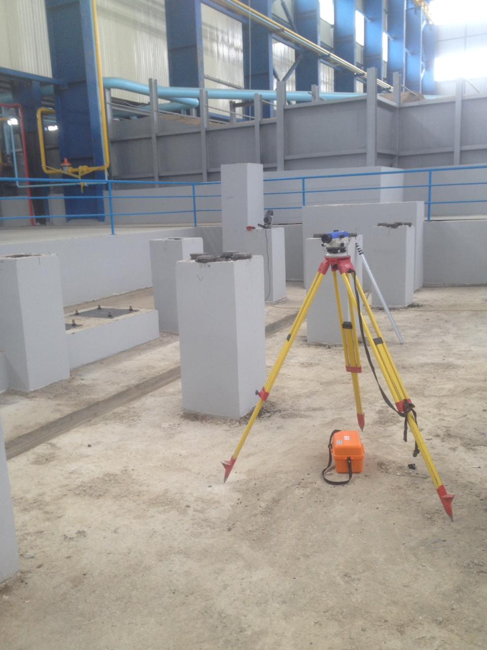
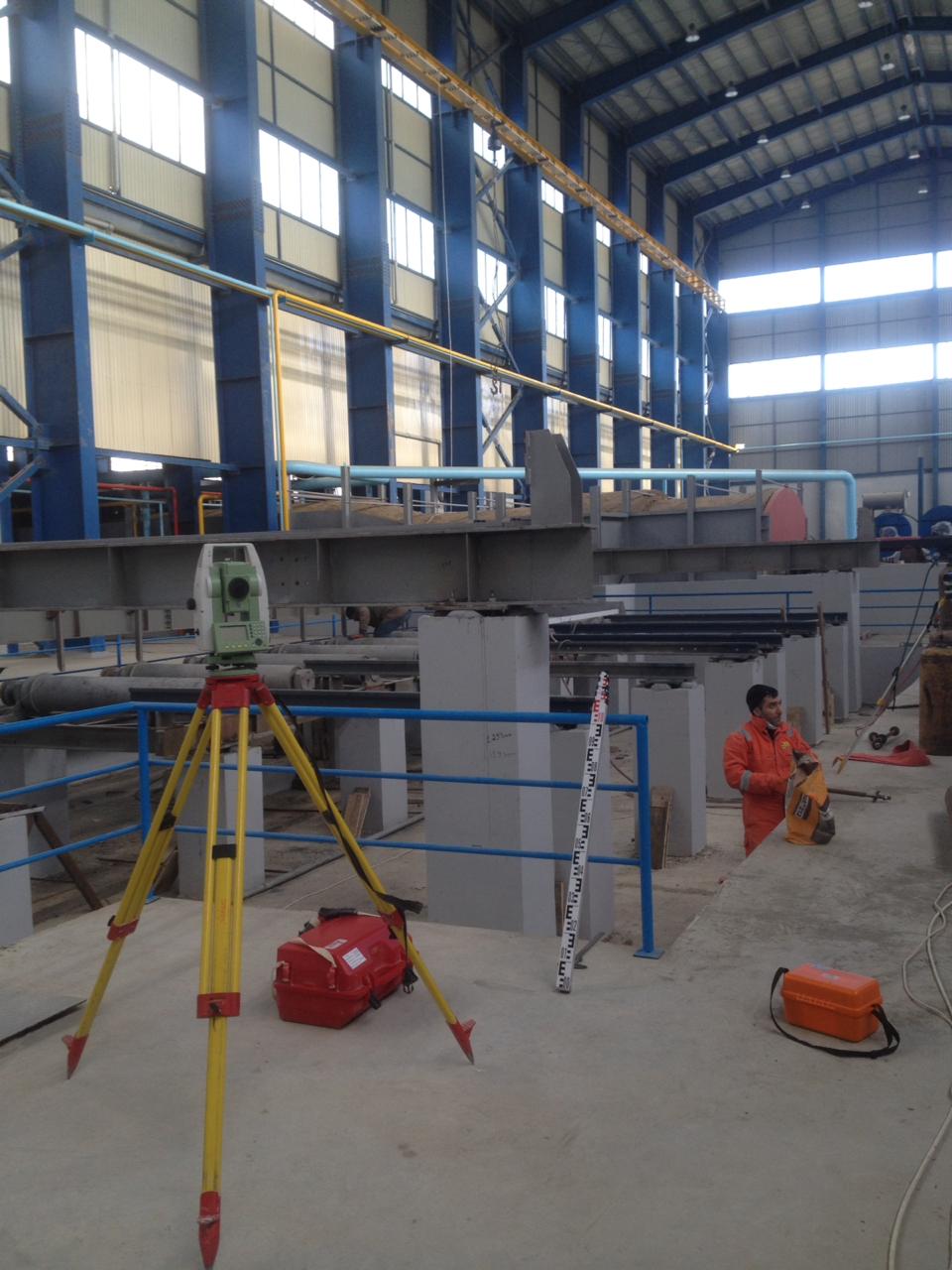
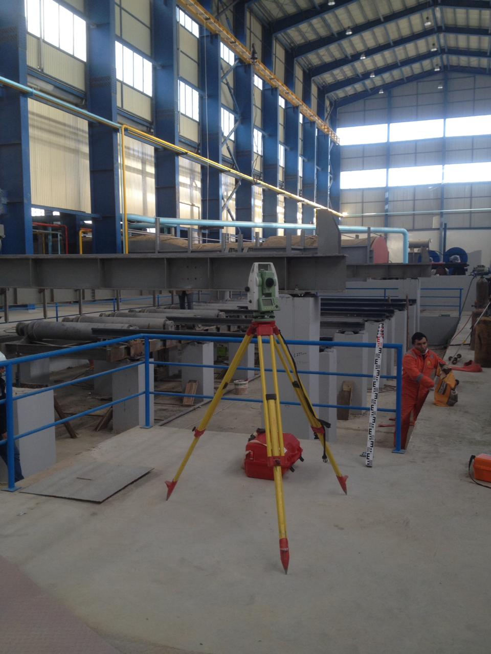
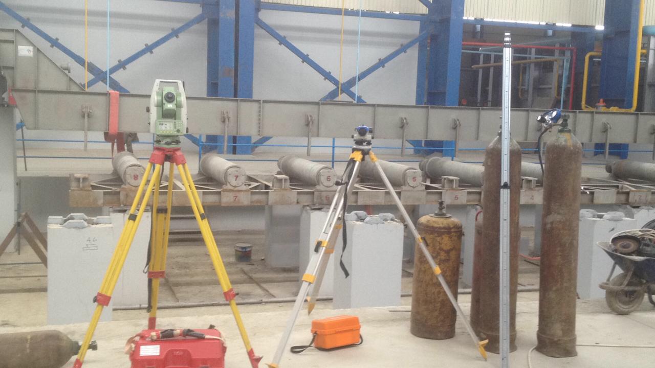
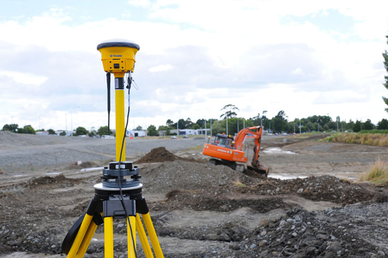
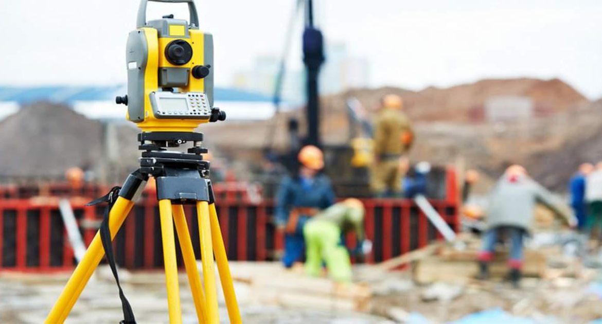
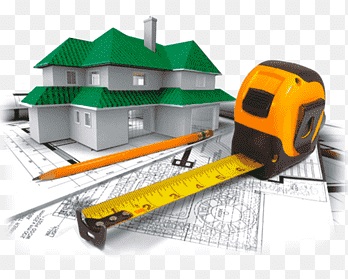
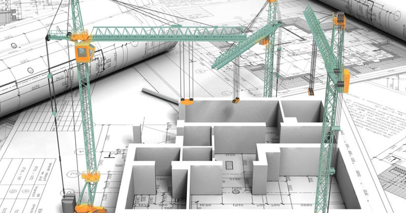
- Applied (engineering) gedoesy - As it is seen from its name, it realizes geodetic provisions of many engineering issues. For example, as engineering issues, applied geodetic methods are widely used in studying of the areas such as industrial facilities, civil facilities, highways, land reclamation. Geodesy has big advantages in military affairs. It is clear that it is impossible to imagine the military defense issues of the country, as well as military operations without a map.
Geology – learns the shape and size of the earth as a whole or parts of it, the methods of performing measurements on the ground to obtain a description of the physical surface of the earth on maps and plans, as well as to find the solutions of the various engineering problems.
Geodesy is a Greek word, when translated into Azerbaijani, it means the division of land.